(Sydenham 75.3 - 97.7)
Struck out for a 5 man hike yesterday with special guest Evan Lamb joining us for the first time.
Although the map showed 22.4kms for this hike, it was actually closer to 21 kms due to trail re-routes near the KOA Campground (this section of the trail is closed for the winter).
We parked in the little subdivision and then began the hike west on Hwy 26, then south on 10th Concession past the KOA campground.


The trail cut west off the road into a swampy area.


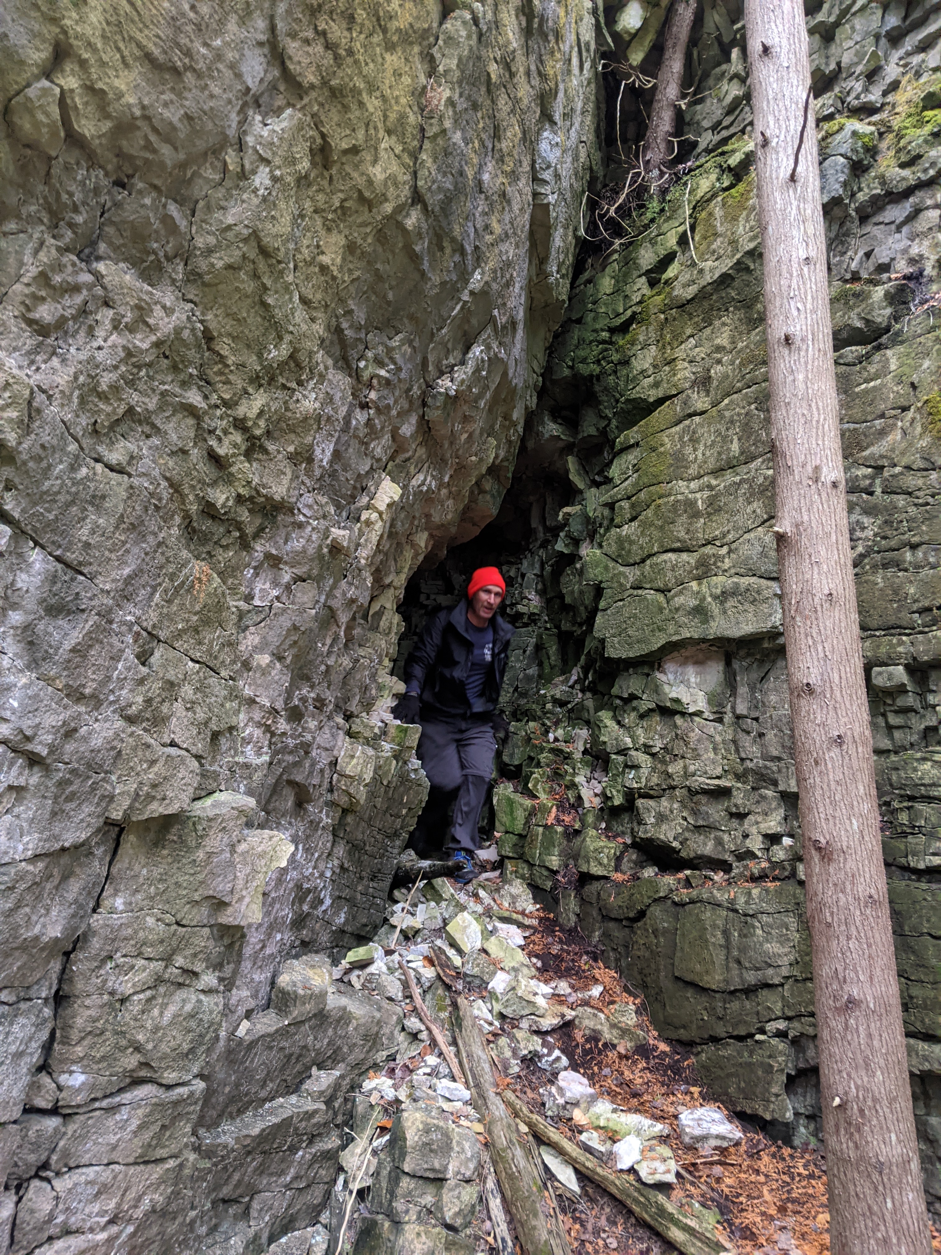
After a short walk we reached some giant flat walls. There were large cracks in the walls creating corridors that the trail passed by/through. Very cool. We spent a bit of time exploring them.


After leaving the walls behind, the trail passed by a golf course.


... and some farmers fields ...


... then was back on Superior St.for a short stretch.

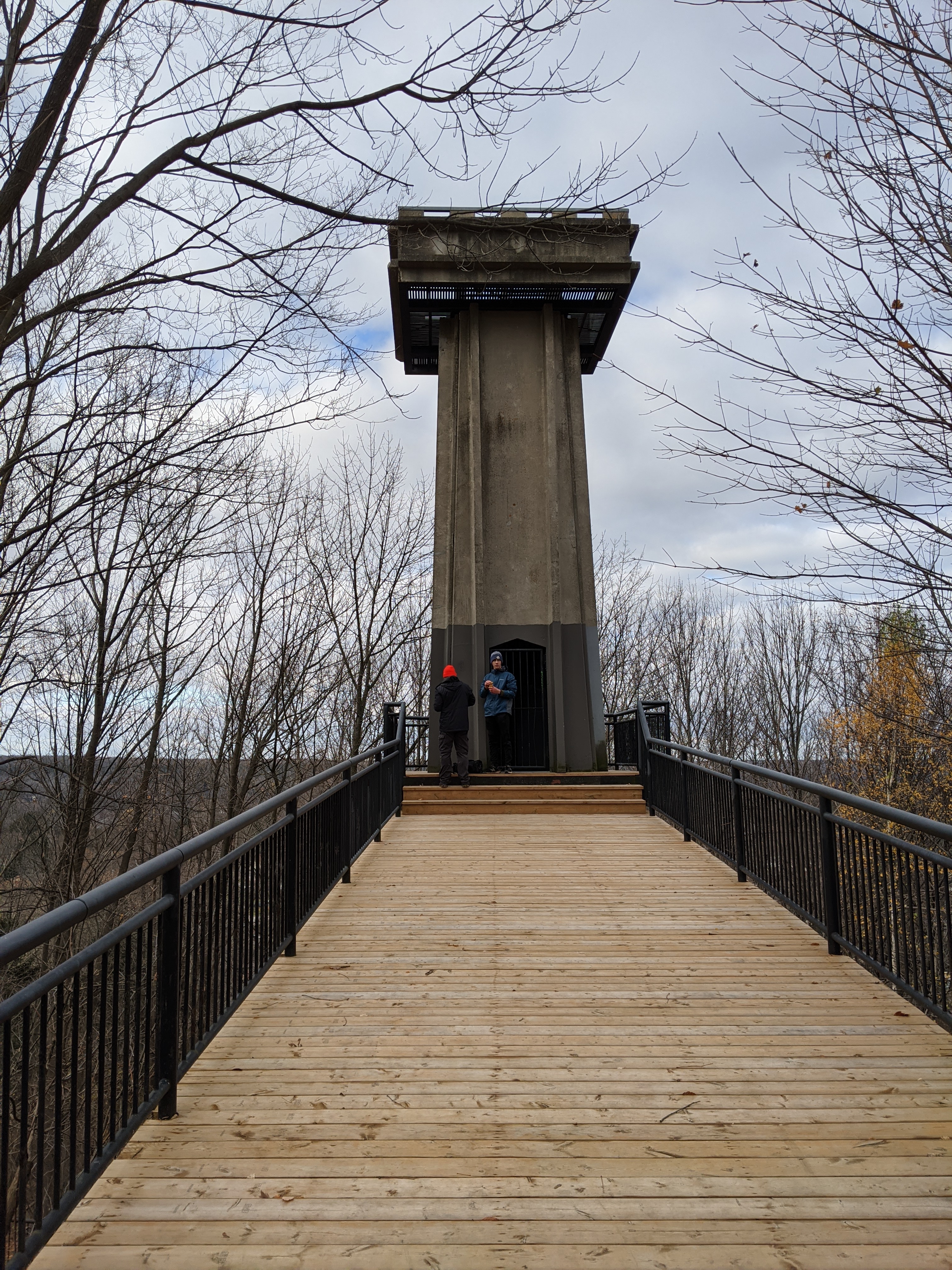
After crossing Hwy 6/10 we had a snack at the base of Centennial Tower.
The trail followed along the bottom of a rock wall for a few kilometres. This stretch was a bit slow going due to many ups and downs through uneven ground covered in wet leaves. But despite the slow going, it was really beautiful.


The trail descended towards a river ...


... then climbed up to the top of the escarpment and led back to the river where we found an old mill and waterfall.


Inglis Falls.


We then headed through another field and forest, then along roads for a few kilometers. The final stretch followed though a forest along the top of the escarpment.
It took us about 4.5 hours total to do the 21 kms. Great day of hiking!
Comments
Post a Comment