(Syndenham 32.3 - 54.9) [Edition 28 map markers]
After more than a year of no Bruce hikes, and several postponements due to my recent move to a new house, Chris and I finally made it out for a hike. After debating how long of a hike we wanted to do, we parked the cars and started the hike at around 9:15am.

Unfortunately our starting spot was right in the middle of a new detour. The Bognor Marsh section is currently closed due to logging, so we began a bit farther back on the trail to follow the detour, at the 27.7 map marker.
After the road section, the detour connected to some side trails in a nice cedar forest.

Hiking on layers of cedar pines is the best hiking. Chris and I were comparing the bouncy terrain to the soft horizontal escalators at the Toronto airport.
The trail here has some "sights" to check out, such as this stone-walled well,


this old collapsed barn,


and this crashed plane!


There was a steep climb to join the main trail.


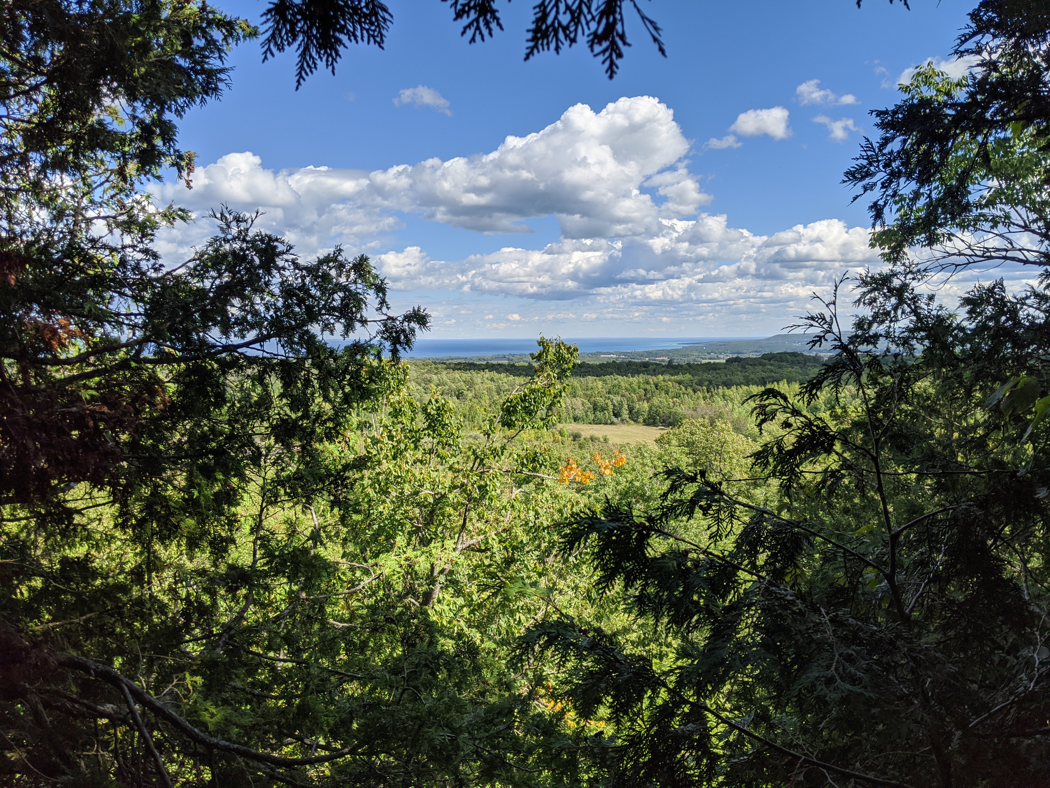
Once we reached the main trail, things flattened out for a bit. We enjoyed seeing some of the wild mushrooms.

Many large crevasses lined the sides of this part of the trail.

The trail then decided to wind down and up the escarpment multiple times. It must have been leg day for the person who laid down this part of the trail.


We saw some trees that looked like they were set up for maple syrup extraction when winter arrives.

And more crevasses. Many more!


We got to descend down in to some of them for a little bit.


We passed something that looked kind of like the inside of a kiln.


This part of the trail was really cool. It entered a few narrow crevasses.


Eventually we reached the road again, and followed it for a bit before cutting into a farmer's field.


We heard what we thought was thunder at this point, but shortly later we realized it might have been some kind of artillery practice fire.

At the base, the trail cut away from the escarpment and went into the forest again.


We reached the car just after 4:00pm, making this hike about 6h45m in length. We're not actually sure how much we hiked, but we're guessing that the expected 22.6kms was a bit of a low estimate due to the initial detour. Maybe somewhere between 23 and 24kms.
Regardless it was a great day for a hike, and we're already planning the next one for October. Hopefully we will catch up to Jamie and Anthony this year!
Comments
Post a Comment